Northern Latitudes: Where Do Greenland Halibut Live in Canada’s Arctic?
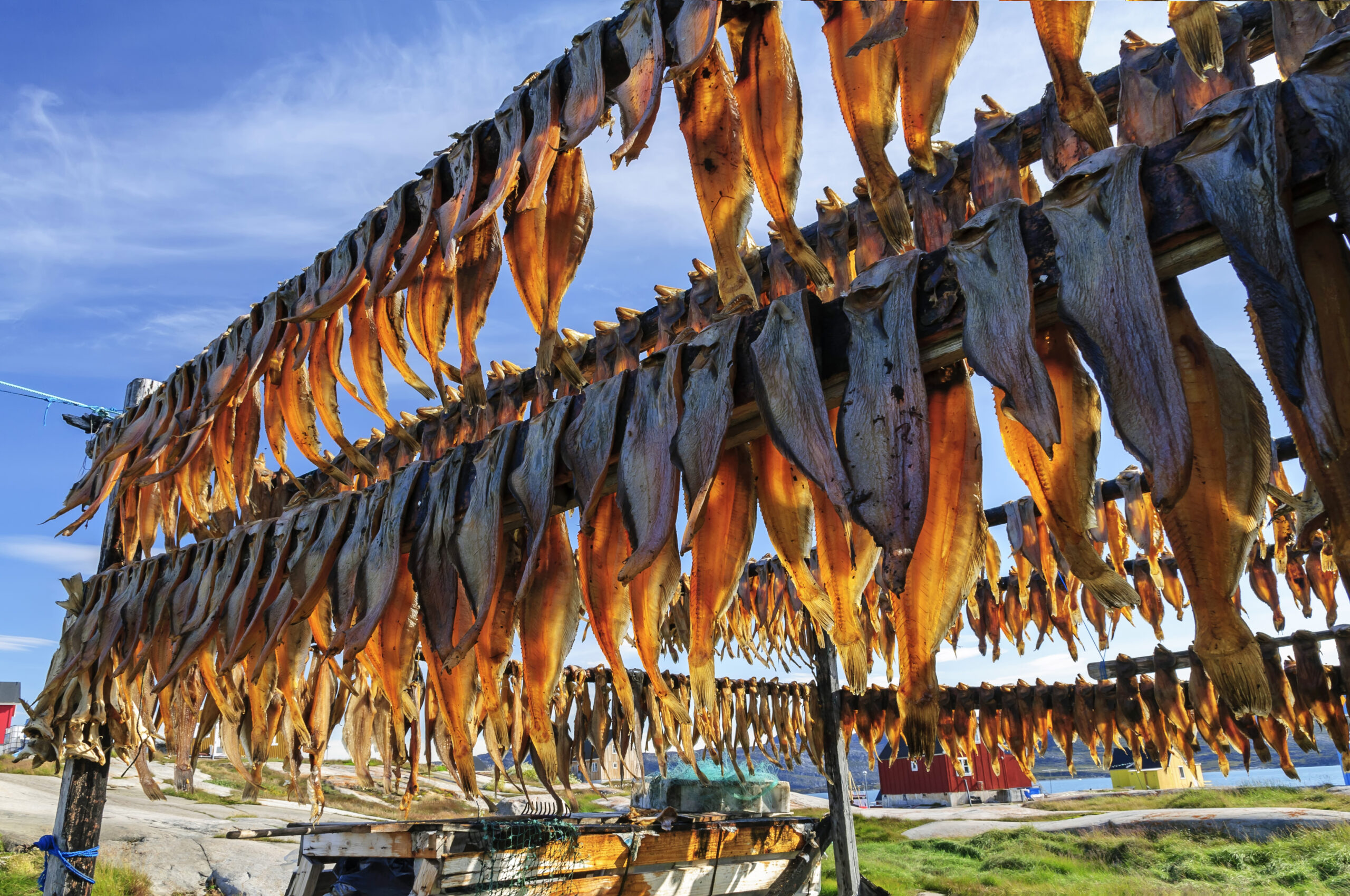
Greenland halibut, or Turbot as they are sometimes called, are an important commercial fish for communities throughout the eastern Arctic, as well as a key source of food for marine mammals like belugas and narwhal. Mapping is a tool that can help us understand their habitat and monitor how climate change is affecting this species.
Today, we’ll be looking at a map about Greenland halibut (or Rheinhardtius hippoglossoides) from Canada’s Arctic Marine Atlas. First, we’ll learn a bit more about this particularly flat, diamond-shaped fish, and then dive into the different kinds of data used to map this species.
Ilitariyauyuq: Ann Sanderson / Oceans North
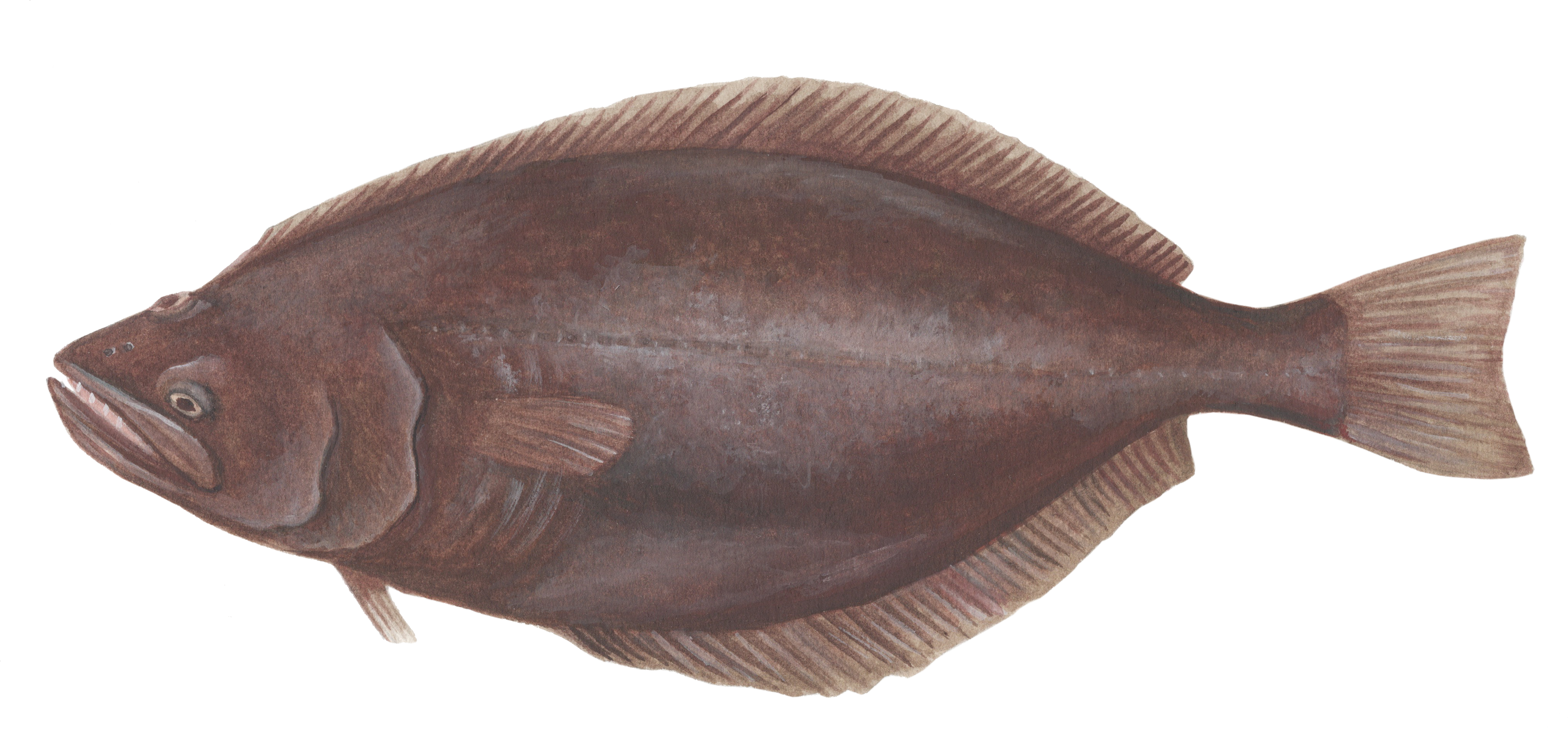
Greenland halibut are born with eyes on either side of their head, but as they grow, their left eye migrates towards their right eye. Fish with this unusual characteristic are called “right-eyed flounders.” Greenland halibut are typically found at depths of 500 to 2000 metres and are primarily found on the sea floor. They swim both horizontally and vertically and have been known to travel up into the water column as well, likely for feeding. They feed upon crustaceans, cephalopods like squid, and other fish like capelin and Arctic cod. Greenland halibut are found in the northern Atlantic Ocean and the Arctic Ocean, as well as in the northern Pacific Ocean and Bering Sea. They’re abundant in the northwest Atlantic, in the Gulf of St. Lawrence and along all of the continental shelf from the Grand Banks in the south to Baffin Bay in the north. However, Greenland halibut’s full range is not yet known. In 1993, Greenland halibut were recorded as far west as the Beaufort region near Banks Island.
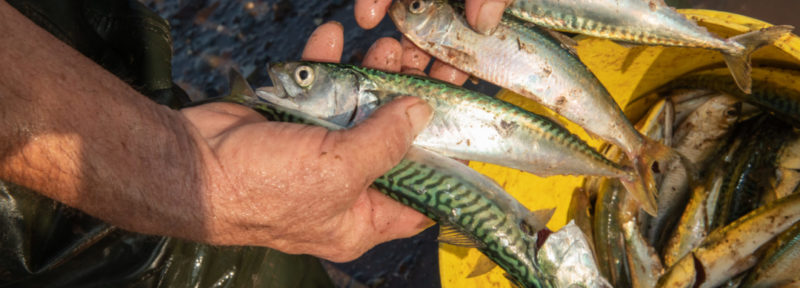
Three of the four Inuit land claim areas have a commercial harvest quota for Greenland halibut through private fleets and Indigenous-owned companies. The fisheries represent significant economic opportunities for northern communities.
Now, on to the data. The map below shows both documented occurrences and areas of common presence of Greenland halibut. A quick note about the map: we have clipped the data to include only the waters within the Canadian EEZ. Greenland halibut are also found on the eastern side of Baffin Bay and are very important to the commercial fishery in Greenland as well.
Ilitariyauyuq: Oceans North.
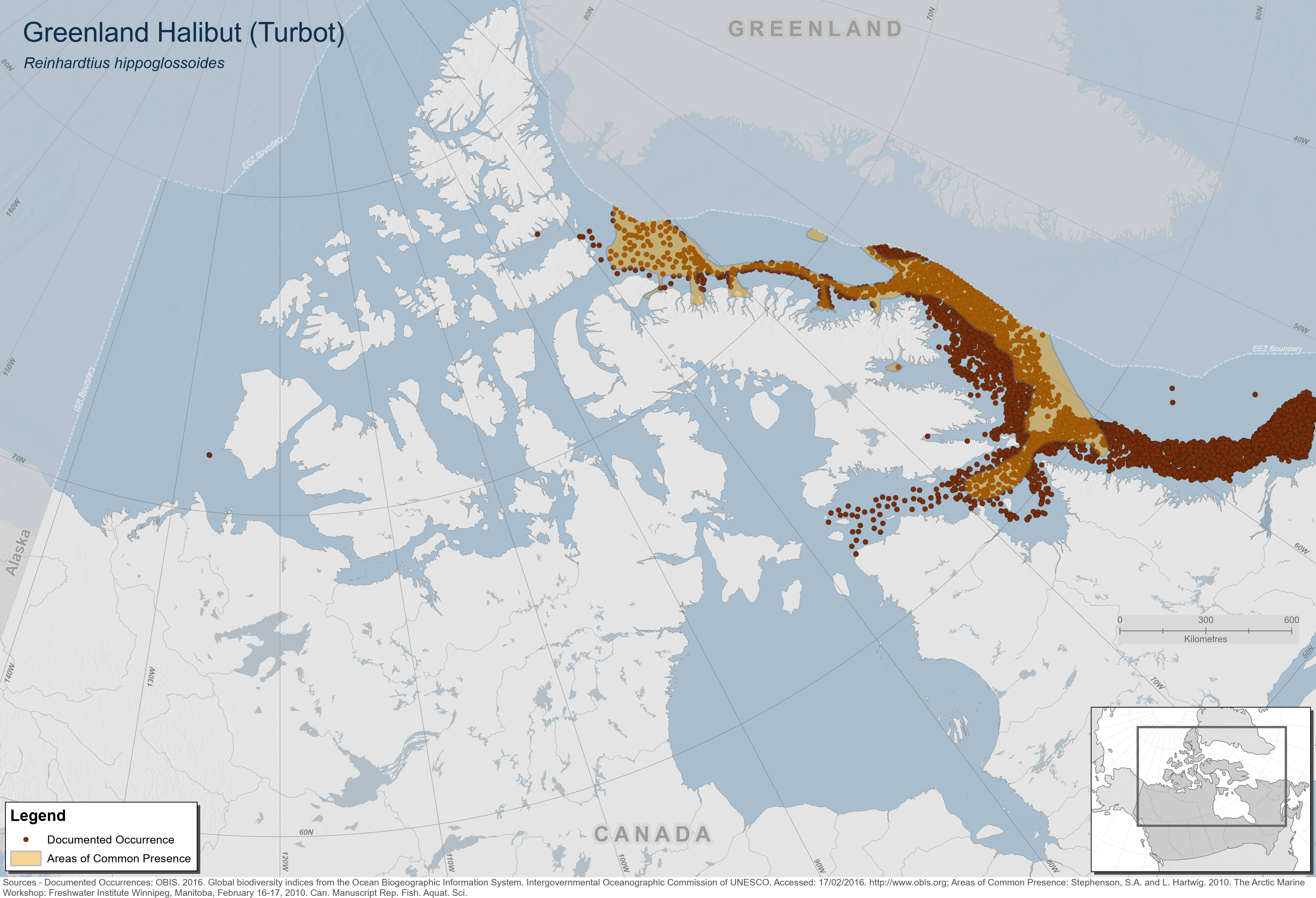
Let’s start with the documented occurrence data. These data come from the Ocean Biodiversity Information System (OBIS) database where observation data is gathered for over 120,000 species and made available for free to the public. On this map, you can see the one occurrence point of Greenland halibut in the western Arctic by Banks Island, which dates back to 1993. Occurrence data are very useful because they help to confirm the presence of a particular species. It is also helpful for identifying shifts in the range of a species. For example, climate change or other factors could drive fish to migrate at different times or occupy new ranges. However, they can also be misleading. The empty places on this map appear to be places where Greenland halibut don’t live—but they might also just be places where surveys have not yet been done!
The common presence data on the map comes from Fisheries and Oceans Canada experts and is intended to show areas where Greenland halibut are usually found. These areas are based on both observations and knowledge of Greenland halibut’s typical habitat. Like other species, Greenland halibut prefer habitat with specific characteristics such as a certain water depth and temperature, ocean floor substrate, the availability of prey and other factors. This type of information can be used to identify areas where they are likely to be found.
To learn more about Greenland halibut and their Arctic habitat, check out Canada’s Arctic Marine Atlas.
Olivia Mussells is lead marine conservation geographer for Oceans North.
Related Content
Ilitariyauyuq: Oceans North
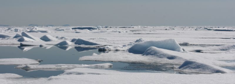
How Mapping Arctic Sea Ice Helps Monitor Climate Change
Rankin Inlet’s youth arrived in Gillam to learn about the customs and traditions of Fox Lake Cree Nation.
Ilitariyauyuq: The Climate and Us
Creating Connections in Western Hudson Bay
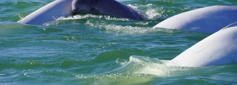
Learn about one of the greatest beluga migrations in the world.
Ilitariyauyuq: Paul Labun
New Podcast Explores How To Protect Our Oceans
Ilitariyauyuq: Nick Hawkins