How Much Carbon is Stored in Canada’s Seabed?
Seafloor sediments are an important but often overlooked carbon sink.
Credit: NOAA

For millions of years, Canada’s seabed has stored layer upon layer of organic sediment, becoming a major carbon sink hidden from view. But over the last decade, the increasing threat of global warming has prompted scientists to study how much carbon is buried in the seafloor and how best to protect this habitat from damage.
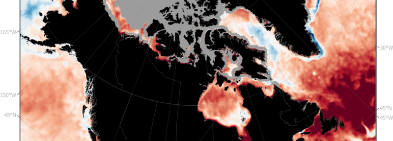
Using statistical modelling, researchers have created the first high-resolution map of predicted carbon stocks in the Canadian seabed and estimate that the top 30 centimetres of sediment hold 10.9 billion tonnes of organic carbon. That’s about 60 percent of the total carbon stored by all the trees in the country’s forests, or 100 times that of Canada’s seagrasses and salt marshes.
“We need to know where the highest densities of carbon are to avoid disturbing them,” said Dr. Graham Epstein, a post-doctoral fellow in the biology department at the University of Victoria. “The mapping project is useful as a guide for potential management and future research.”
Epstein worked with other scientists to produce the maps using data from several sources: research survey work done over a long period; samples collected from the seafloor; and environmental data such as depth, topography, waves, temperature and currents. Using machine learning, they produced carbon storage maps covering 4.5 million square kilometres— nearly 90 percent of Canada’s seafloor above 2500 metres.
“The big advantage of this mapping project is the amount of data we could collate and the spatial resolution of our predictions within Canada,” said Epstein.
The maps show that the richest areas for carbon are the muddy sediments in sheltered coastal fjords, inlets and bays on Canada’s West and East coasts, and parts of the Salish Sea in British Columbia. Significant deposits are also predicted in deeper parts of the Scotian Shelf and the Laurentian Channel in the Gulf of St. Lawrence, as well as deeper areas west of Vancouver Island. By contrast, shallower offshore areas affected by strong winds and currents hold much less carbon. The Arctic seabed is generally estimated to have lower amounts of carbon, except for some regions near coasts and in northern Baffin Bay near Greenland—but the lack of data in these remote regions makes for lower confidence in the estimates.
Researchers hope that these maps encourage further study of Canada’s seabed to fill in the many gaps in knowledge. For example, there are still plenty of locations where the seafloor has not been sampled at all. These maps will also be useful in considering how to appropriately protect the seafloor from human activities, as is done with other carbon-rich habitats such as forests, seagrass, kelp and salt marshes, Epstein said.
“If socioeconomic factors are considered appropriately, as a precautionary process, I would argue that there’s little reason not to include carbon-rich seabed areas in habitat protection. Carbon storage can be a co-benefit of marine conservation.”
When the seabed is disturbed through commercial activities such as bottom trawling, a large amount of carbon may be released into the water column and consumed by marine creatures, who then expel carbon dioxide through respiration. But there’s still tremendous uncertainty about how much carbon is released in different settings, its potential environmental impact, and how to mitigate such damage.
Blue Carbon Canada and Oceans North supported the mapping project.
Ruth Teichroeb is a regular contributor to Oceans North and former communications director. She is based in Sidney, B.C.
Related Content
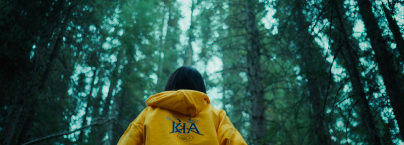
Rankin Inlet’s youth arrived in Gillam to learn about the customs and traditions of Fox Lake Cree Nation.
Credit: The Climate and Us
Creating Connections in Western Hudson Bay
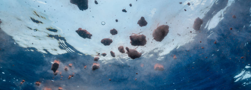
Feces from animals such as blue whales (pictured) play an important role in the ocean's carbon cycle.
Credit: wildestanimal / Adobe Stock
Everybody Poops—And That’s Good News for Ocean Carbon Storage
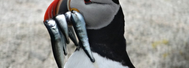
Atlantic Puffin carrying hake to feed its chick, Machias Seal Island.
Credit: Joana M. Romero
Why are the Bay of Fundy’s Atlantic Puffins Raising Fewer Healthy Chicks?